I
Scope Conversation
We sit down — in person or remotely — and identify which disciplines your project requires. No obligation.
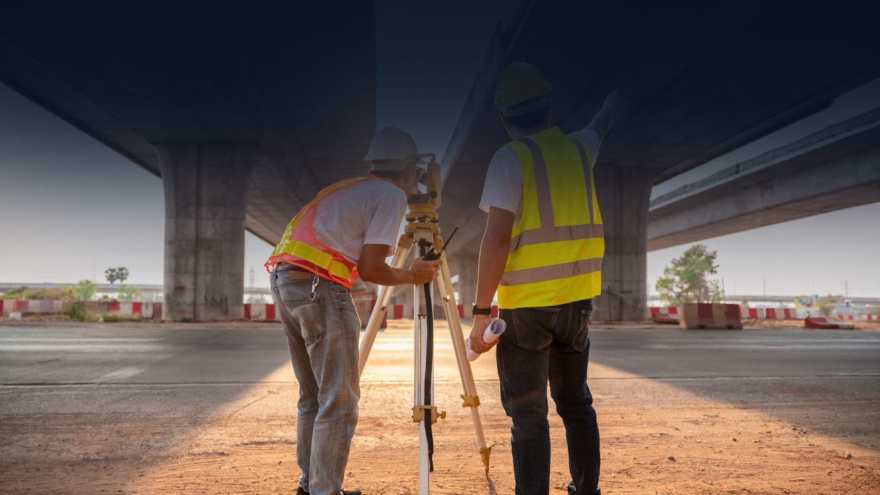
Accurate field data and survey control that give the rest of the project a dependable starting point.
Confidence starts with accurate information. Equipped with state-of-the-art drone and LiDAR technology, our surveying team produces precise surveys, detailed mapping, and high-quality site imagery that provide a deep understanding of the site. Combined with our hands-on approach to land development, we help clients navigate challenges, evaluate opportunities, and make informed decisions from the very beginning.
Surveying is foundational work, and precision matters. We support design and construction with clear boundary information, topographic data, staking, and mapping that reduce uncertainty and keep downstream decisions grounded in reliable field conditions.
Boundary and title work prepared with attention to documentation and clarity
Topographic information collected to support design, grading, and infrastructure
Construction staking that helps translate plans accurately to the field
Survey support coordinated directly with civil and structural workflows
We sit down — in person or remotely — and identify which disciplines your project requires. No obligation.
We provide a written scope and fixed fee for each discipline selected. No surprises mid-project.
A single-page service agreement is signed and a kickoff meeting is scheduled. We confirm what we need from you and when.
Each phase runs on the sequence shown above. You review at every gate before we advance.
Field Work
Precise measurement, mapping, and control to support design and construction.
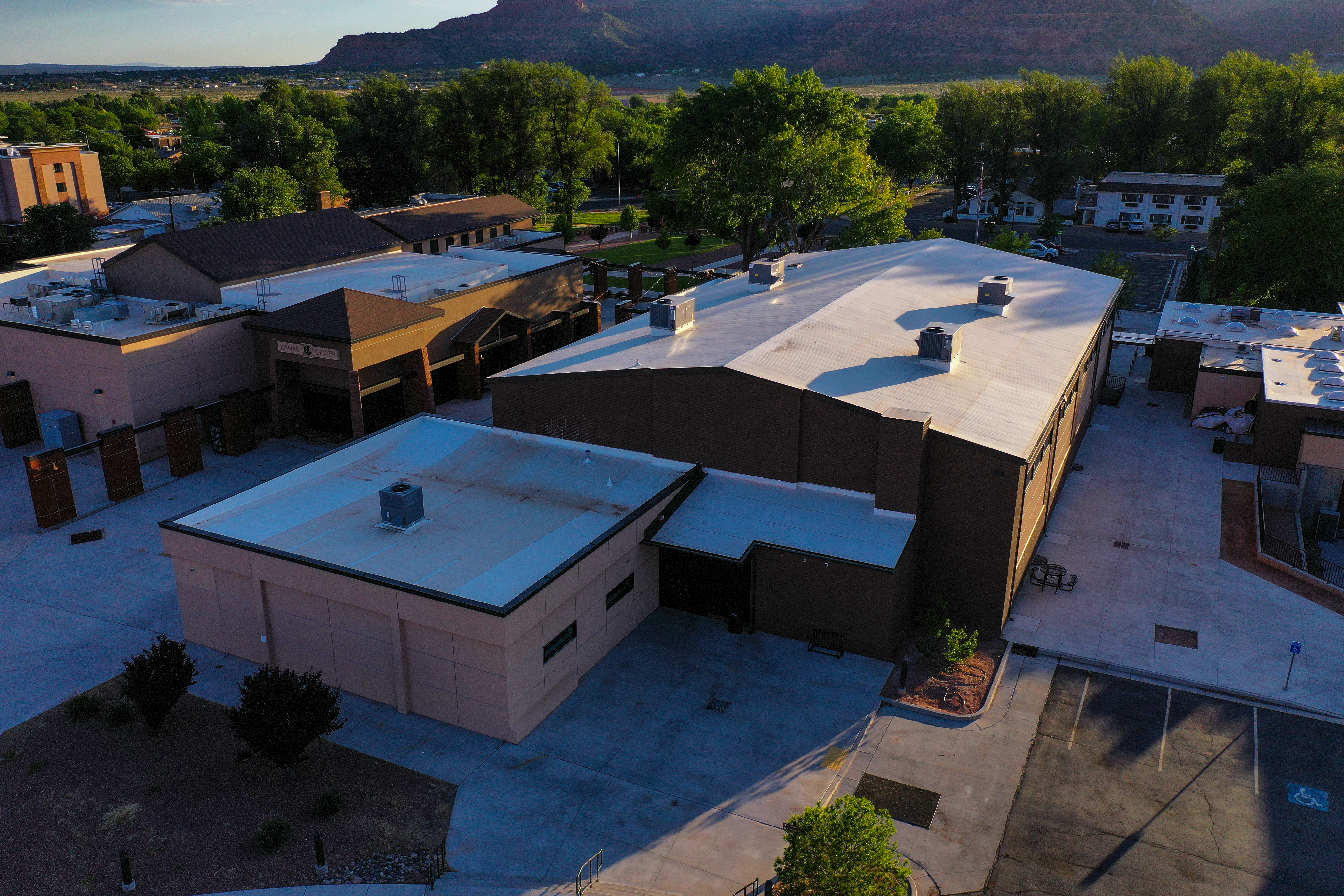
Boundary + Topo
Topographic and boundary information that helps projects move with confidence.
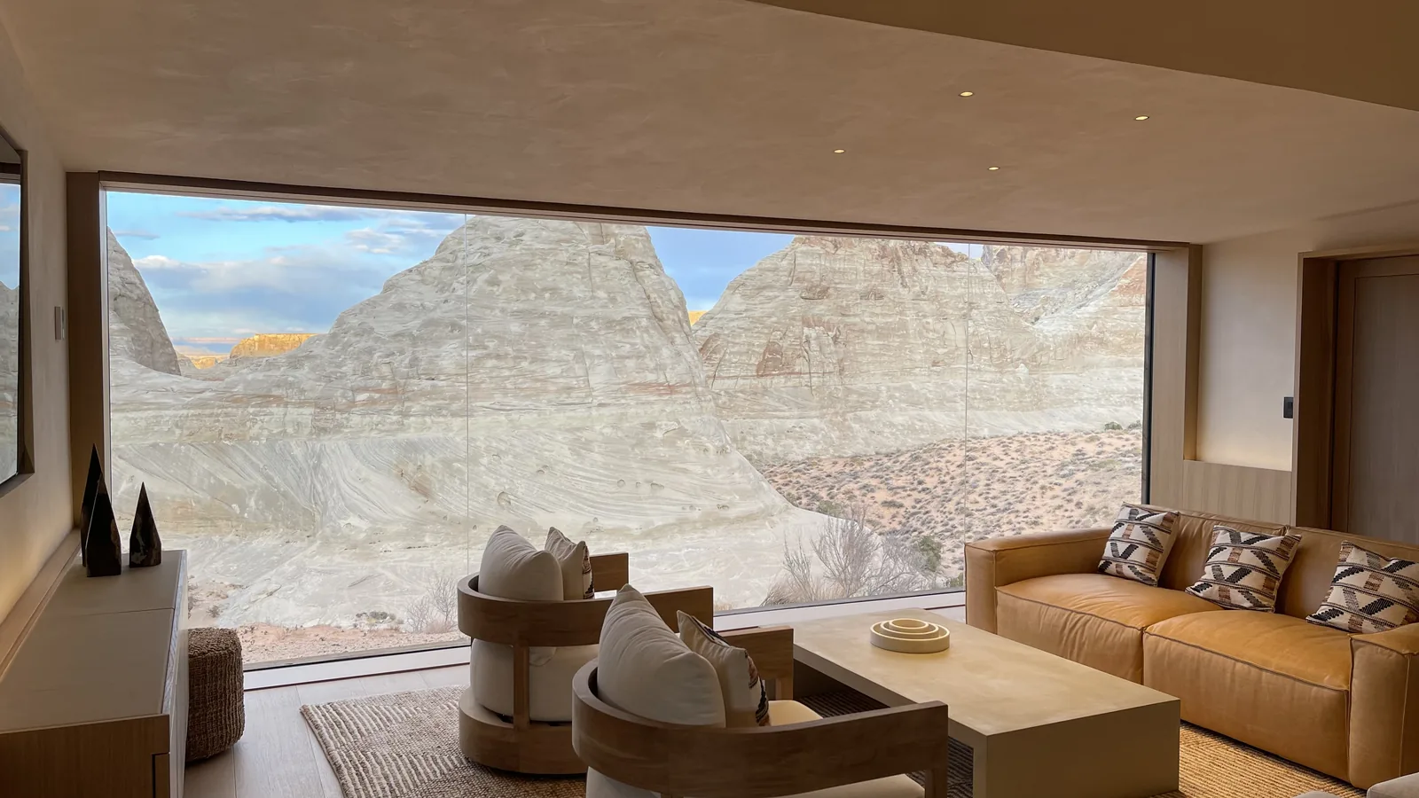
Terrain Coordination
Survey support for sites where grading, access, and natural context all matter.